
Saturday, Feb. 24, 2024
Wichita Mountains National Wildlife Refuge, Lawton, OK
Nathan Roseberry will once again put on a barebones event for us at the spectacular Wichita Mountains, near Lawton, OK. Quite a bit outside our North Texas environs, but well, well, worth the trip.
Important: Participants should be advanced orienteers who are comfortable with Brown, Green and
Red courses. NO beginners, no minors. Registration will be by invitation to current advanced NTOA members. Others may participate with Nathan's approval. No walk-ups: You must RSVP with Nathan by Thurs., Feb. 22.
This is a barebones event: No classes. No awards. Just fun!
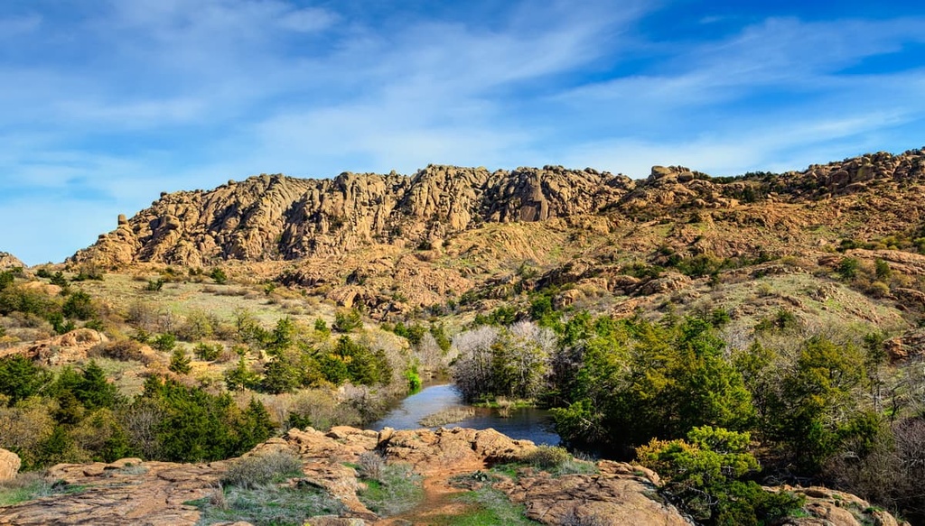
The Wichita Mountains Wildlife Preserve covers 60,000 acres of mixed grass prairie, ancient granite mountains, and fresh water streams. Quanah Parker, the great Comanche leader, lived in Cache, OK and is buried on Ft Sill, just south of the preserve. Many of the features in the area this event takes place are named in his honor. The CCC built several dams on the creeks during the 1930s creating the lakes throughout the preserve.
Topography:
The primary feature of the Wichita Mountains is the granite. Much of the Red route will be navigating granite slabs and boulders, while the Green route primarily covers open forest. Between the granite will be a mix of prairie grasses, shrub oak, and the occasional stand of trees. It’s not uncommon to encounter steep gullies and cliffs that are impassable. Most of the vegetation is cut by game trails, making it easier to get through the thickest areas. There are sparse areas of very thick vegetation and green briar but can usually be avoided. The forested areas, marked as green on the map, are generally very open and runnable
Animals:
This is a wildlife refuge. There’s a chance you’ll encounter bison, elk, long horn cattle, and deer. Give them their space--maybe even a porcupine. Bison and longhorn are usually in the grassy prairie areas, not where this event is held. However Nathan did see several elk and deer while setting the course.
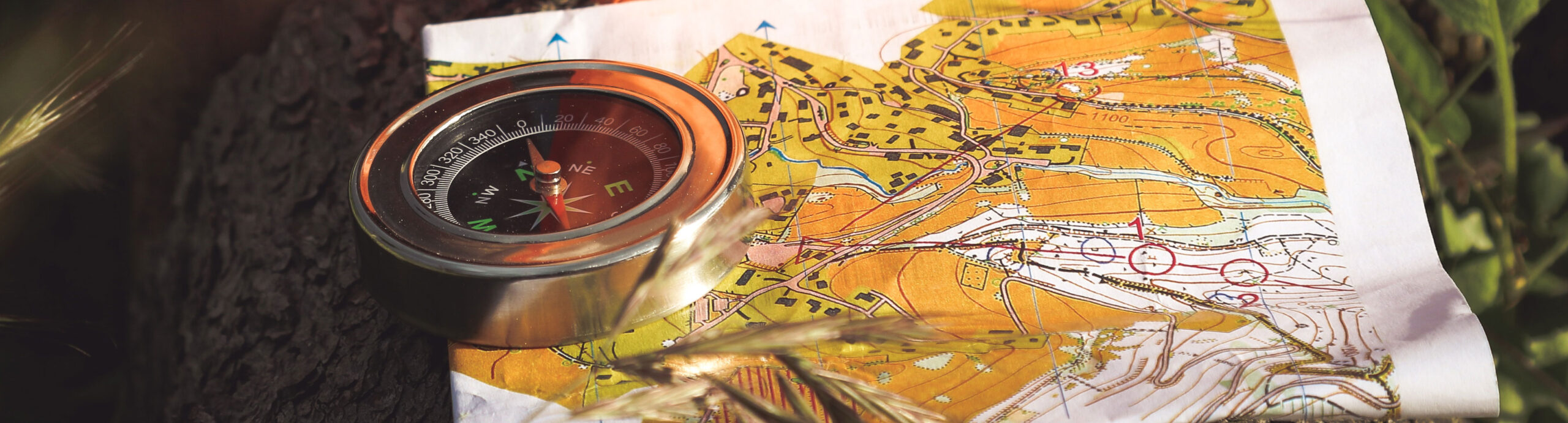
Maps:
This event uses USGS maps, not orienteering maps. Some key differences include:
- Contour interval: 10ft
- Details: these maps lack the rich details we’re used to with orienteering maps. There are too many boulders to map, but the largest boulders will form their own contour line. Cliffs are not mapped, but can usually be identified from the close contours. The numerous smaller cliffs and rock faces are not mapped.
- Vegetation: Vegetation is not mapped. There is very little thick vegetation that would be mapped green on an orienteering map. The thickest vegetation is usually in the creek beds. The forested areas would generally be mapped white, with little to no underbrush or green briar.
- Trails: There are very few man-made trails in this area to map, and game trails are not mapped.
- Labels: Lakes, creeks, and some of the more prominent peaks are named on this map. Contours are labeled every 50ft.
Safety:
Participants should take their own water. There is no drinking water placed on the course. There are multiple creeks on the courses that would need to be filtered or treated before drinking. Running through unfamiliar terrain is always dangerous. Be careful of cliffs, loose rocks, cactus, cedar branches, deep water, wild animals, and all other hazards. Cell phone service is spotty. On the high points there’s limited reception. In the canyons and gullies there is usually no reception. All participants should carry a whistle.
Quanah Creek runs right down the middle of the map. For the most part this creek is lined by 150ft+ canyon walls. The Red course crosses the creek. Please use the suggested crossing spot marked on the map.
Courses:
Three courses will be offered:
- Brown – 4.5km 100m (320ft) gain. 15 controls.
- Green – 5.4km 120m (400ft) gain. 16 controls.
- Red - 7.6km. 290m (960ft) gain. 23 controls.
Brown and Green courses stay primarily in forested terrain and prairies. The red course is in a mix of forest and the mountains with rocky outcroppings and granite slabs.
Schedule:
- Registration: 9:00am – 10:00 am
- Start: 9:00am – 10:00 am.
- Time limit: 4 hours, i.e, 2:00 pm
Getting there:
Wichita Mountains WR is located just west of Lawton, OK, about 3-4 hour drive from DFW. The event starts and finishes at the Osage Lake Trail Head. There are no facilities here. Restrooms are available at the visitor center at the junction of highway 49 and 115. From the Visitor Center continue west on highway 49 for 2.0 miles. Turn left (south) onto the road towards Osage Lake.
Google Maps: https://maps.app.goo.gl/9MsPrH3trLPGP8kD8
Accommodations:
- Doris Campground is located in the WMWR, make reservations through recreation.gov
- Nathan will be camping at loop A Friday and Saturday. If you’re around, he says come say hi.
- Hotels are available in Lawton, OK about 30 minutes east of the WMWR.
- Airbnb etc are available in Medicine Park, just outside the WMWR
Other things to do while you're there:
- Check out Charons Garden. Great hiking exploring the Boulder fields or granite slabs.
- The Holy City. Jerusalem recreated from local rocks.
- Mt. Scott, you can drive to the top