
Erwin Park 2021 Course Setter’s Notes
Markers
The controls will each be marked by two ribbons of contrasting colors, orange and lime green, to distinguish them from other ribbons in the park. Our ribbons have the control number and “NTOA 2/21” written on them.
Terrain and Vegetation
The terrain is a mix of open grassy hillsides and forested valleys.
The grasslands are mostly mowed and very runnable. Inside the loop road in the north end of the park, a prairie restoration area is un-mowed but still runnable in mid-winter conditions. Beware of old disused bike trails in the grassy areas that have become small gullies. They are covered with grass in places and may be deeper than they appear. In some areas, copses (clusters of trees) composed mostly of mature cedars are scattered in the grasslands obstructing visibility and making navigation tricky.
The forested areas are isolated and vary in runnability. Visibility will be good at this time of year except where the cedars dominate. These forested valleys also include a high density of trails and include the most complicated terrain, with a lot of small reentrants and gullies along the larger streams.
Water Features and Weather
There are four ponds in the park. Their water levels vary throughout the year. At the time of this writing, one week before the event, the water levels are high, as indicated on the map. Some minor rise or fall could occur during the event. Similarly, most streams and seasonal water channels will be wet. Depressions and pits may be water-filled or marshy. Some unmapped water channels and marshy areas have also developed. If there has been recent rain, expect slick muddy conditions on the trails and in the unvegetated slopes in the forested areas.
Warning!! Recent Record low temperatures and snowfall combine to make a rare situation for our region. Ponds may have thin ice covered by snow making them appear like runnable flats. If you’re close to the pond and it’s flat and you can’t see dirt, beware it’s probably ice. Also be aware that at high water levels, the ponds will encroach on surrounding trees and contain floating debris, so go slow around those ponds.
Out-of-Bounds
There is a residence in the middle of the park, surrounded by a white fence and some patches of forest. The area inside the fence and the adjacent woods are strictly out of bounds. A small cemetery on the northwest edge of the map is also out-of-bounds.
The park has very clear boundaries on three sides. If you cross a fence, you have probably gone out of bounds. The north and south boundaries have an overgrown fence and a well-maintained gravel road outside the park. The west side is bounded by agricultural lands with a good fence. The map stops at these boundaries.
On the east side the boundary is not always as obvious. The fence is ruined in places. In the southern part of the east boundary, a distinct ravine with a north-flowing stream is the main boundary. Farther north, a thick line of vegetation and an old fence separate the park from some neglected fields. These fields don’t resemble the mowed park grasslands. If you somehow wander in there, go back to the west. Farther north on the east side, the boundary is again near a stream flowing north. Some remnants of the fence may remain on either side of the stream. Along these stream areas the out of bounds markings on the map are cut back a bit so that features on the east side of the stream can aid navigation. Again, stay to the west side of the stream and fences.
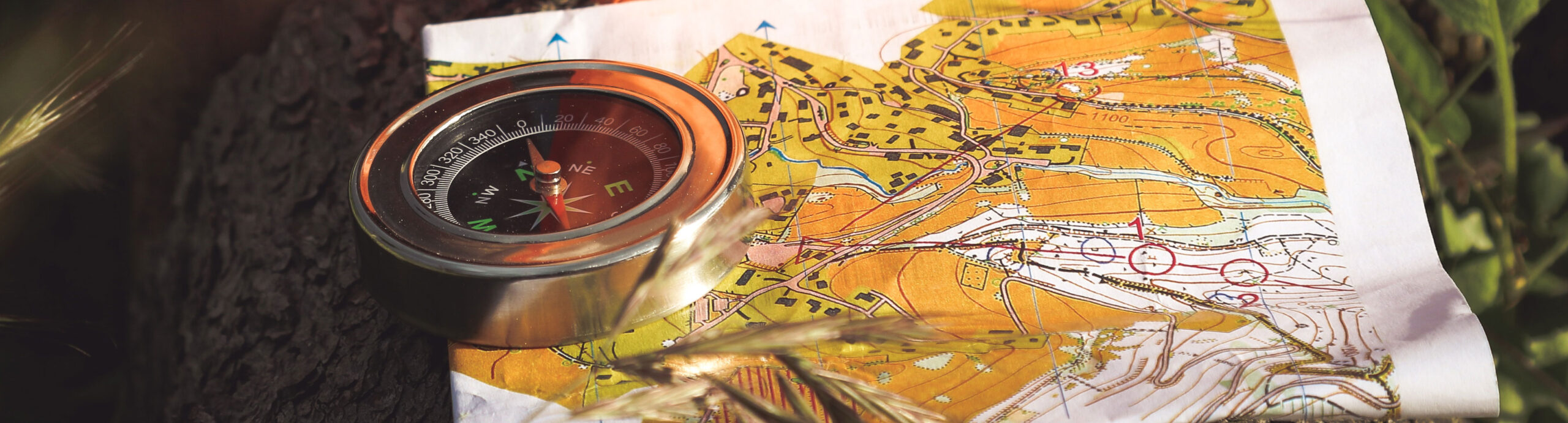
Map
Special man-made items are represented by black O’s or X’s. A black ‘O’ can be a tall lamp post, bike repair station, or a prominent birdhouse on a post. A black ‘X’ may be a large sign or kiosk, large piece of rusty debris, pile of old fence wire, large utility box, park bench, playground equipment, raised masonry fireplace, displaced wooden footbridge, guy cable anchor, small storage trailer or small monument.
The map is newly revised. The symbol used for the bike paths is the dashed line usually used for small footpaths. Footpaths, which are sometimes old, disused bike paths, are shown with the non-standard “disappearing” trail symbol that most NTOA members are familiar with. These trails are mostly not disappearing in this park, but they are not maintained like the bike paths and will not have bike traffic you will need to be watching out for. Sometimes they are intentionally obstructed by limbs and debris where they intersect bike paths.
Long rows of short stout wooden posts, used as vehicle barriers, exist along the paved roads near campsites and playgrounds. They are not mapped. Picnic tables, small signs and trail markers are not mapped.
Some of the features built as enhancements to the bike trails such as ramps, low walls, dirt mounds for jumps, and small bridges, are not mapped. Small stockpiles of trail maintenance supplies are scattered throughout the park. These are, by their nature, temporary, and therefore not mapped. There is work underway on some new trails with jumps in the field opposite, and northwest of, the parking lot nearest the park entrance. This work is not mapped.
The maps are made to be printed at 1:7500 scale. Control circles are 10 mm diameter, or 75 m diameter in map distance.
There are two versions used for this event. One is standard, the other has NO trails (an option for advanced runners). Make sure you get the correct version.
Hazards
Bike traffic is a major hazard in this park. Don’t stop in the bike paths, especially on blind curves. The usual hazards of old barbed wire and green-briar vines exist in parts of the woods. Beware of slick muddy slopes and potential collapsing gully banks after episodes of rain. Burrs are fairly minimal since most fields were mowed in the fall.
Courses
| Course | Controls | Distance | Climb |
| Yellow | 10 | 3.4 km | 69m |
| Brown | 13 | 3.1 km | 75m |
| Green | 19 | 4.8 km | 102m |
NEW! Special ‘No Trails’ options have been added for Brown and Green. They are called BrownNT and GreenNT. They are the same courses with the same controls and clues but drawn on a base where all the trails have been removed. A few controls have a trail bend in the description, so the control circle may appear to have no feature in the circle. Here is some more info on those points: 59 (on BrownNT and GreenNT): northward bend on a disused trail (north of a larger trail), 46 (on GreenNT): no hints needed, 60 (on GreenNT) a northwestward bend on a disused trail (between larger trails).
All control descriptions are available to print separately from the maps. The control descriptions for the Brown and Green courses are also on the maps.
All courses start and finish at the Pecan Grove Pavilion.
Stan Darnell, course setter